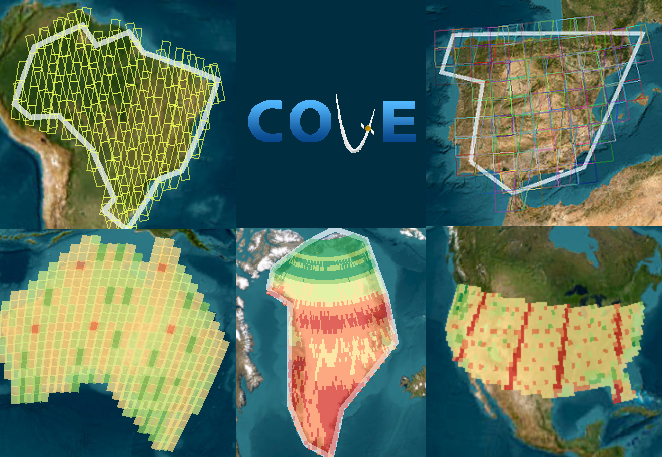
CEOS Acquisition Forecaster
Missions and Instruments
ALOS
ALOS-2
Aqua
Aeolus
Aura
Beijing-1
CALIPSO
CARTOSAT-1
CARTOSAT-2
CARTOSAT-2A
CARTOSAT-2B
CBERS-1
CBERS-2
CBERS-4
COMS-1
CSK-1
CSK-2
CSK-3
CSK-4
Capella-10
Capella-11
Capella-6
Capella-9
CloudSat
CryoSat-2
EROS-B1
ERS-1
ERS-2
Elektro-L N1
EnMAP
Envisat
FORMOSAT-2 (ROCSat-2)
FORMOSAT-3 FM1
FORMOSAT-3 FM2
FORMOSAT-3 FM3
FORMOSAT-3 FM4
FORMOSAT-3 FM5
FORMOSAT-3 FM6
FY-1D
FY-2D
FY-2E
FY-2F
FY-3A
FY-3B
FY-3C
GAOFEN-1 (GF-1)
GAOFEN-6 (GF-6)
GCOM-W1
GOSAT
GPM
GHGSat-C1
GHGSat-C2
GHGSat-C3
GHGSat-C4
GHGSat-C5
GHGSat-D
HJ-1A
HJ-1B
HJ-1C
HY-1B
HY-2A
IMS-1
ICESat
ICESat-2
International Space Station (ISS)
JERS-1
Jason-1
Jason-3
KALPANA-1
KOMPSAT-2
KOMPSAT-5
Kanopus-V N1
Landsat 5
Landsat 7
Landsat 8
Landsat 9
MEGHA-TROPIQUES
Meteor-M N1
Meteosat-10 (MSG 3)
Meteosat-7
Meteosat-8 (MSG 1)
Meteosat-9 (MSG-2)
Metop-A
Metop-B
Monitor-E
NMP EO-1
NOAA-15
NOAA-16
NOAA-17
NOAA-18
NOAA-19
NOAA-20
NPP
NigeriaSat-1
NigeriaSat-2
NigeriaSat-X
OCEANSAT-2
OSTM (Jason-2)
Odin
OCO-2
PARASOL
PLEIADES-1A
PLEIADES-1B
PROBA
PRISMA
Pleiades-NEO 3
Pleiades-NEO 4
PROBA-V
QuikSCAT
RADARSAT-1
RADARSAT-2
RASAT
RESOURCESAT-1 (IRS-P6)
RESOURCESAT-2
RISAT-1
RISAT-2
RapidEye 1
RapidEye 2
RapidEye 3
RapidEye 4
RapidEye 5
ResourceSat-2A
Resurs DK 1
SAC-C
SAC-D
SCISAT-1
SMAP
SMOS
SPOT-1
SPOT-2
SPOT-3
SPOT-4
SPOT-5
SPOT-6
Sentinel-1A
Sentinel-1B
Sentinel-2A
Sentinel-2B
Sentinel-3A
Sentinel-3B
Sentinel-5P
Sich-2
SumbandilaSat
THEOS
TRMM
TanDEM-X
TET-1
Terra
TerraSAR-X
UK-DMC
UK-DMC2
Umbra-01
Umbra-02
Umbra-03
Umbra-04
Umbra-05
Umbra-06
Umbra-07
Umbra-08
Filter Type
Filter Missions
Task Status
No task pending
(0.0000, 0.0000)

