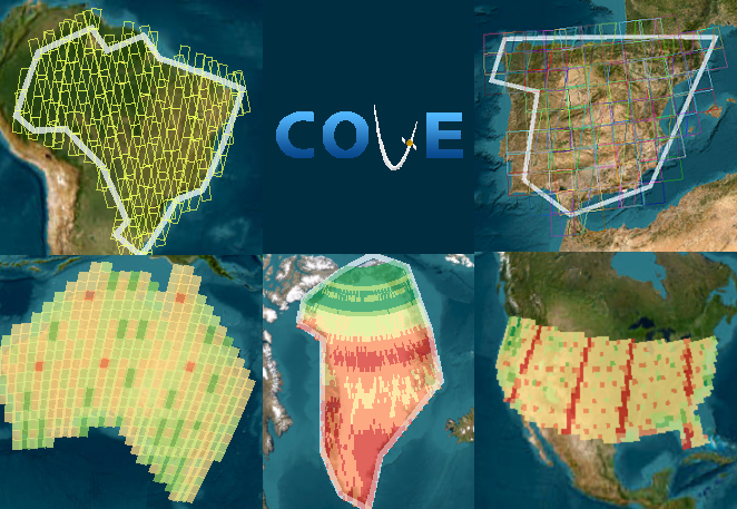
Country Coverage
GFOI Country Coverage Reports
The LSI-VC Forests & Biomass Subgroup coordinates space satellite data for the Global Forest Observations Initiative (GFOI). In support of the Subgroup, the CEOS Systems Engineering Office (SEO) produces historical coverage analyses utilizing the data archives for the Landsat, Sentinel-1, and Sentinel-2 missions. Currently, COVE produces reports for 73 GFOI countries.
Submit a task to view the analyses of scene data availability. Downloadable files are available in Export Options and Output Options. The PDF files contain summary figures and tables of all Landsat/Sentinel scenes available over a given country including a subset of information for low cloud (<20%) data, where applicable. The CSV files contain the relevant raw metadata for every scene listed in the report. The ZIP files contain all CSV and PDF reports for all constellation and countries in a task.
New scene metadata is imported into COVE daily. Reports tasks are cached for one day (UTC time) to reflect the current scene data. Task size limits no longer apply. Monthly cached reports reflect acquisitions data from two months ago.
A brief summary of each mission’s background information is given below.
The Landsat reports include scene metadata from the Landsat 5, 7, 8, and 9 missions. These reports provide ancillary information to the users about scene cloud cover and current processing levels and scene ids are included for each image to facilitate direct ordering of the data products by the end user.
The Sentinel-1 reports include metadata from the Sentinel-1A and 1B missions. These reports are broken down by product type (GRD, and SLC) and include the granule name to facilitate direct ordering of the data products. *Note: Limited data is available before October 2014 as the Sentinel-1A spacecraft was performing commissioning and on-orbit checkout activities.
The Sentinel-2 reports include data from the Sentinel-2A and 2B missions. These reports include information on scene cloud cover and include scene ids to facilitate direct ordering by the end user. *Note: Limited data is available before September 2015 as the Sentinel-2A spacecraft was performing commissioning and on-orbit checkout activities.
Please feel free to email David Borges (head of the CEOS SEO) with questions or comments.

