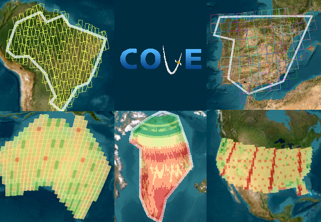
The CEOS Visualization Environment (COVE) is a suite of tools for analyzing satellite
sensor coverage for more than 100 Earth-observing satellites.
Announcements
The COVE User Survey is open! Please take a moment to answer a few short questions about how you use COVE. Your input will be used to drive future improvements and enhancements to COVE.
The COVE User Survey is open! Please take a moment to answer a few short questions about how you use COVE. Your input will be used to drive future improvements and enhancements to COVE.
The COVE suite of tools includes:
| Acquisition Forecaster | A tool that provides users with the ability to predict when a satellite has the ability to image a region of interest, and includes options to show the nadir track or filter scenes by orbit direction in user controls. |
| Coverage Analyzer | A tool that provides users with the ability to analyze the historical satellite coverage of a region of interest. |
| Revisits Calculator | A tool which allows users to analyze estimated satellite coverage and revisits for a region of interest. |
| Coincident Calculator | A tool which allows users to determine the coincidence of satellite instrument modes and/or custom constellations observing a location in the same day within a region of interest using historical or predicted scene data. |
| Data Browser | A tool that allows users to view the satellite image archives from multiple CEOS missions. |
| Data Policy | A database that provides users with information about the data policy and primary archive location for CEOS satellite instruments. |
| Country Coverage | A tool that allows users to generate and view GFOI Country Coverage reports for over 70 countries and 3 constellations. |
| Utilities | A set of quick calculation utilities to provide users with a means of estimating various parameters of interest about CEOS satellite missions. |
| COVE API | A REST API which allows users to access COVE's functionality remotely. See the user's guide for details. |

All tools in COVE may be found under the Tools menu.
Help is available for the COVE, the COVE API, and cove-client. Help may be accessed from the Help menu.
Click on the icons within each tool for direct access to help. Hovering over the icon will indicate the topic of the help.
We are looking for
feedback on COVE. Are there
any improvements, additions, or suggestions you would like to share or requests
for new missions to add? We would love to hear from you.